What the mission can document
- Property and surrounding-area overview
- Exterior asset and access documentation
- Facilities and vendor coordination
- Selected commercial presentation imagery
COMMERCIAL PROPERTY / TRI-CITIES, WA
Clear aerial perspectives give owners, facilities teams, developers, and commercial real-estate professionals useful property and site context.
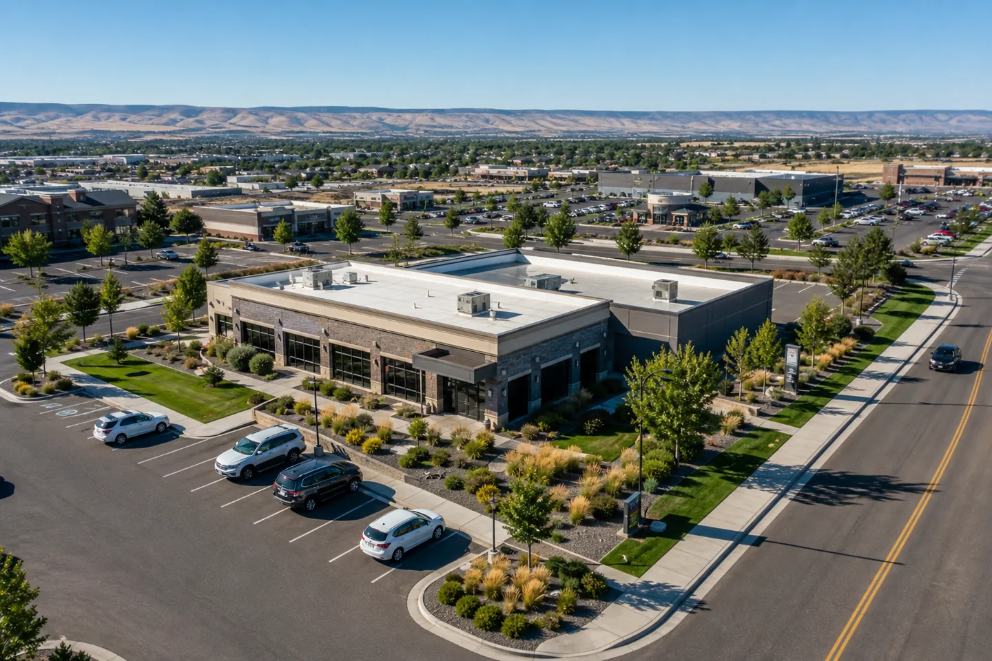
Mission objective
We plan the flight around the property boundaries, exterior assets, access points, surrounding context, and final use of the imagery.
Deliverables can support internal documentation, vendor coordination, development context, asset records, or selected marketing needs.
Before we fly
Yes. We can include selected presentation images when the scope calls for marketing or stakeholder communication.
Yes. Identify the assets and intended use so we can plan the target views and delivery structure.
Start with the site
Share the location, target views, objective, and preferred timing. We will review the operating context and respond with a practical scope.