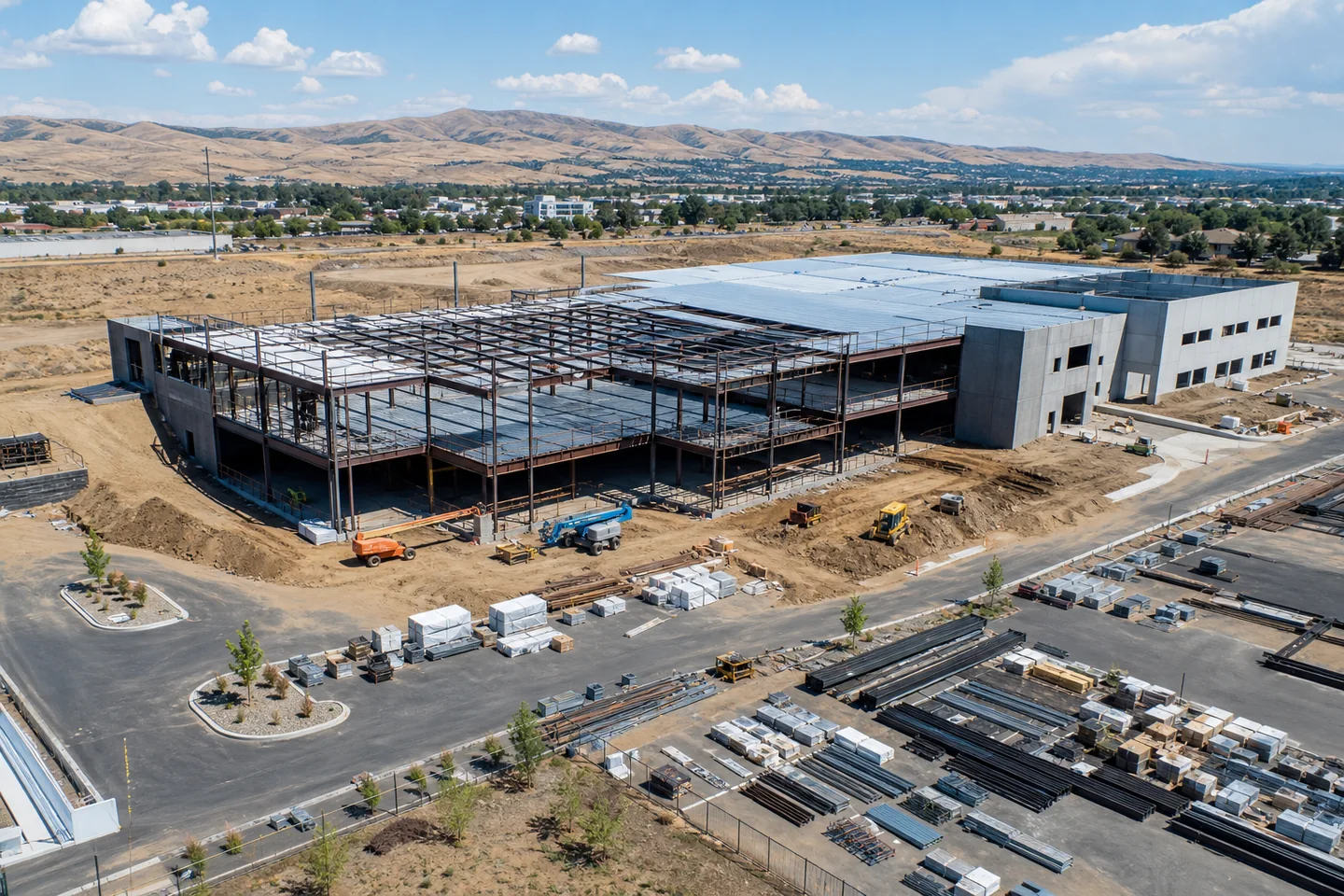
Construction progress
Consistent aerial perspectives that make milestones, site conditions, and visible change easier to communicate.
- Milestone photo sets
- Repeatable viewpoints
- Date-organized delivery
Richland, Pasco, Kennewick, West Richland
Decision-ready aerial imaging and inspection documentation for construction teams and commercial properties—scoped to the question, captured with control, and organized for action.
FAA Part 107 remote pilot
$1M liability coverage
Mission-planned operations
What we capture
Focused aerial documentation for teams that need evidence, context, and continuity—not just impressive footage. Every mission starts with the business question and ends with a usable deliverable.
Consistent aerial perspectives that make milestones, site conditions, and visible change easier to communicate.
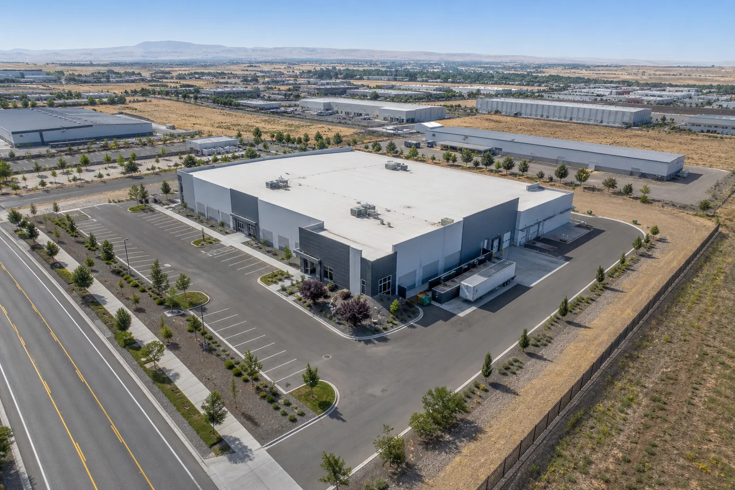
Mission-planned visual records for existing conditions, pre-work context, access, and exterior assets.
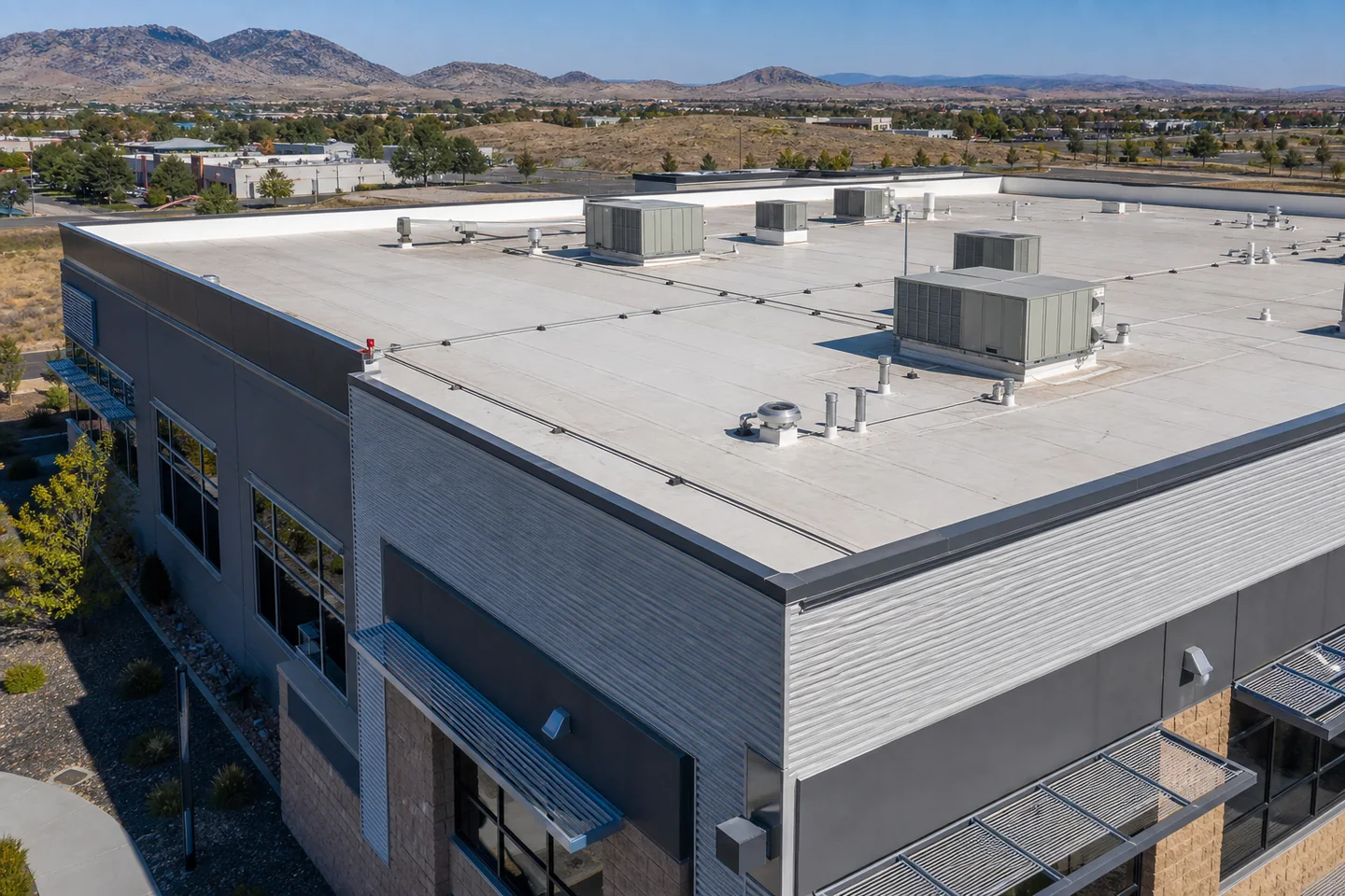
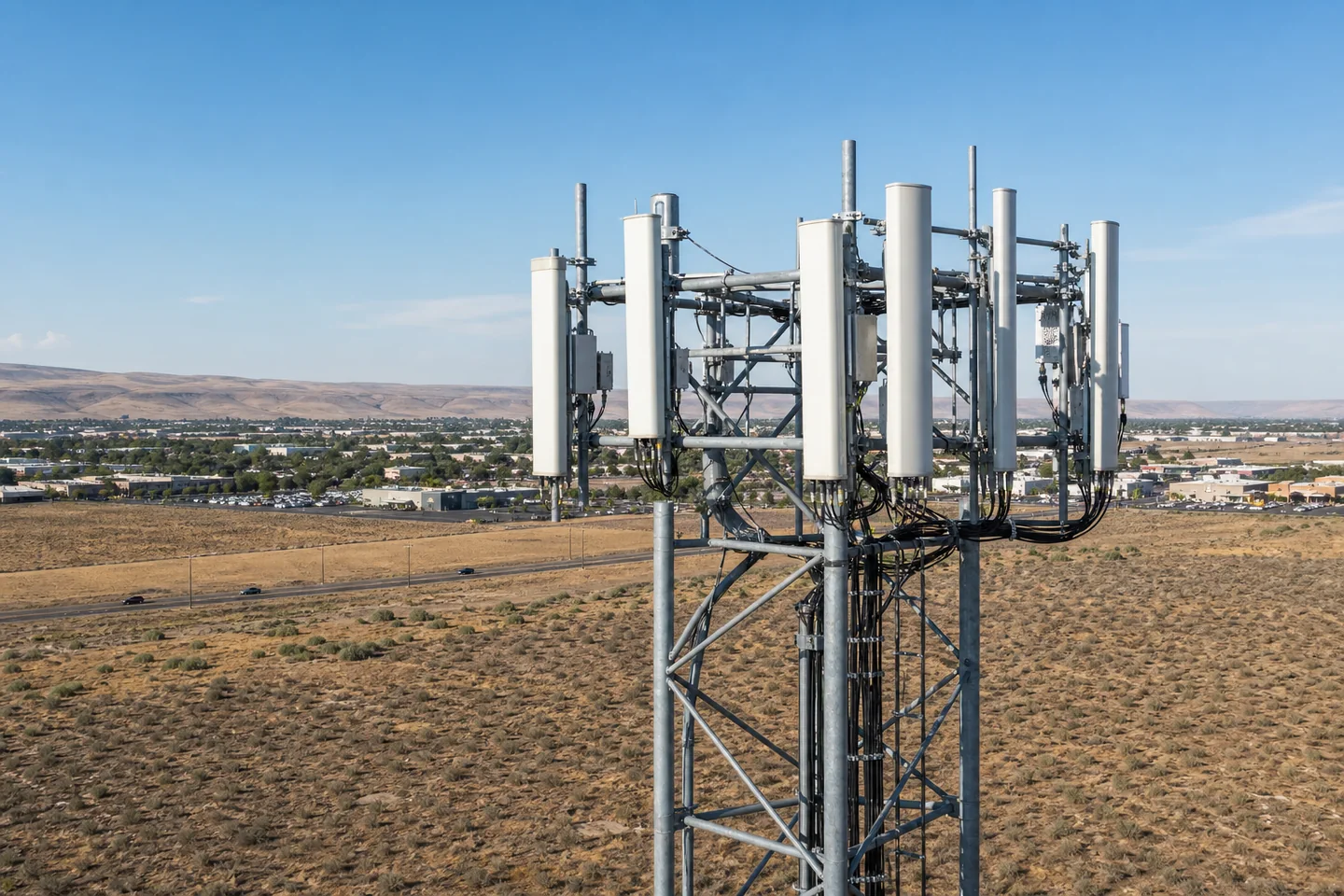
Targeted, high-resolution visual documentation for roofs, façades, cell-tower exteriors, and other difficult exterior areas.
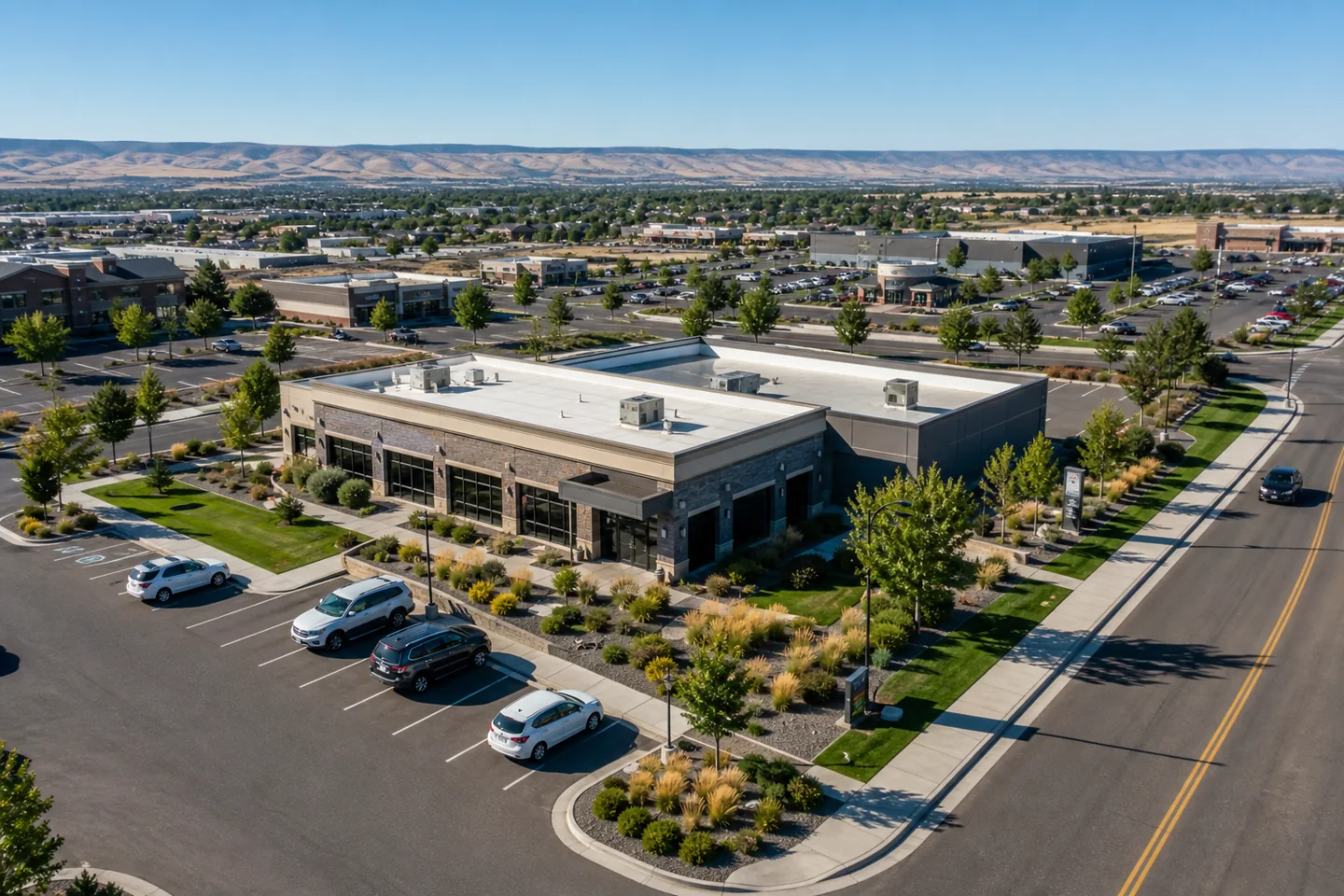
Clear aerial perspectives for property owners, facilities teams, developers, and commercial real estate.
Representative imagery is shown for service illustration. Site conditions, capture angles, and deliverables vary by mission.
Inspection coverage
Aerial capture can give your qualified reviewer clear visual access to roof systems, rooftop equipment, antenna arrays, mounting hardware, cable routing, and other elevated exterior details.
Tower missions are considered case by case and may require site-owner coordination, RF-hazard information, controlled access, specialized planning, or external review. Imagery does not constitute a structural, engineering, roofing, or RF compliance opinion.
Inspection flights provide detailed visual documentation for your team or qualified professional to review. They do not replace an engineering, code, or other licensed professional inspection.
Discuss an inspection missionWhat you receive
The competitive difference is not simply putting an aircraft in the air. It is connecting the capture plan to the way your team needs to review, compare, communicate, or document the site.
Scope a missionALIGN
A confirmed scope covering the site, target views, timing, access, and intended use.
CAPTURE
High-resolution imagery collected to the agreed objective—not an unstructured folder of files.
COMPARE
When repeat visits are needed, documented viewpoints help make visible change easier to compare.
DELIVER
Practical folder structure, clear naming, and a delivery format your team can use immediately.
Built for the field
“Good aerial work starts before the aircraft leaves the ground.”
We treat every project as a mission: define the outcome, understand the site, control the risks, and capture only what serves the work.
How it works
A straightforward process keeps the mission aligned from first conversation to final file delivery.
We confirm the site, deliverables, timing, access, and the decisions the imagery needs to support.
Airspace, weather, hazards, equipment, and operating limits are reviewed before launch.
The mission is flown to the agreed scope with active go/no-go discipline in the field.
Files are organized and handed off in a practical format your team can use immediately.
Operational confidence
Strong imagery depends on disciplined preparation. The TCDS operating system connects mission planning, equipment readiness, field decisions, emergency response, and controlled records.
Ask about our capabilitiesCommercial missions are conducted by an FAA-certificated remote pilot.
Liability coverage supports professional work on active and commercial sites.
Airspace, weather, hazards, access, and operating limits are evaluated before launch.
Scope, capture, file handling, and handoff follow a documented operating workflow.
Before we fly
A good mission begins with the right questions. These are the details clients usually want to understand first.
Pricing is based on the site, objective, target views, timing, access, and final deliverables. Send the site address and what you need to see for a scope-based quote.
Yes. When site conditions and operating limits allow, repeat missions can use documented viewpoints to improve visual continuity across milestones.
No. We provide detailed visual documentation for your team or qualified professional to review. We do not replace engineering, code, roofing, or other licensed professional judgment.
Airspace, weather, visibility, site activity, access, and safety conditions can affect timing. Every mission remains subject to a final go/no-go decision.
Our core service area is Richland, Pasco, Kennewick, and West Richland, with surrounding-region work considered by mission scope.
Start with three details
Include the site address, your objective, and the preferred timing. We will turn that into a practical mission scope and quote.